When you walk through modern cities, you're actually traversing layers of hidden history beneath your feet. Ancient roads, medieval walls, and forgotten structures lie buried under today's bustling streets. Thanks to advanced technology like ground-penetrating radar and LIDAR, archaeologists can now peek into these buried urban mysteries without disrupting modern life. You'll find remarkable stories of lost cities, natural disasters that reshaped communities, and architectural evolution spanning centuries. Each layer tells tales of human resilience, cultural exchange, and technological progress. Your journey through urban time is just beginning to unfold.
Key Takeaways
- Archaeological layers beneath modern cities reveal multiple historical periods, with ancient roads and structures preserved under contemporary infrastructure.
- Advanced technology like ground-penetrating radar and LIDAR enables non-invasive exploration of buried urban landscapes and historical structures.
- Lost cities provide valuable insights into past civilizations, urban planning, and the environmental challenges that led to their abandonment.
- Architecture across different eras reflects cultural values and social changes, from medieval cathedrals to modern skyscrapers.
- Urban excavations uncover evidence of daily life, trade patterns, and social structures, helping reconstruct historical narratives of city development.
Ancient Foundations Beneath Modern Streets

While modern cities pulse with the energy of contemporary life, ancient foundations lie silently beneath our feet, telling stories of civilizations long past.
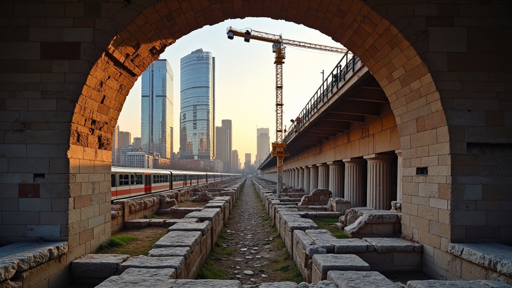
You'll find layers of history stacked beneath today's concrete and steel, where Roman roads run under London's busy streets, and medieval walls support Manhattan's skyscrapers.
As you walk through your city, you're literally stepping on centuries of urban evolution.
Archaeological digs reveal how our predecessors shaped the urban landscape – their drainage systems still channel water, their building foundations still bear loads, and their street layouts still influence modern traffic patterns.
Every construction project becomes a potential window into the past, where you might spot ancient pottery shards, colonial artifacts, or remnants of forgotten neighborhoods that once thrived where you now stand.
Technology Reveals Hidden Urban Layers
Modern scanning technology has revolutionized how we explore ancient urban layers, enabling archaeologists and historians to peer beneath streets without lifting a single stone.
You'll find that ground-penetrating radar, LiDAR, and magnetometry now reveal buried structures, streets, and artifacts that have remained hidden for centuries.
When you look at today's cities, you're actually standing above multiple layers of history. These tools let you visualize thermal differences, density variations, and geometric patterns that indicate buried walls, foundations, and infrastructure.
They've helped uncover entire Roman settlements beneath London, Mayan cities in dense jungles, and medieval streets under modern Paris.
What's particularly exciting is that you can now explore these discoveries through 3D modeling and virtual reality, bringing ancient urban landscapes to life without disturbing the current cityscape.
Lost Cities Rediscovered

Throughout history, lost cities have captured our imagination, from the underwater ruins of Heracleion off Egypt's coast to the jungle-shrouded temples of Angkor Wat.
You'll find these forgotten urban centers scattered across continents, waiting to reveal their secrets to modern explorers and archaeologists.
When you examine these rediscovered sites, you're stepping into complex societies that vanished due to natural disasters, warfare, or gradual abandonment.
Modern technology now lets you peek beneath centuries of soil and vegetation. You can spot ancient streets in Pompeii, trace trade routes in Petra, and map the ceremonial centers of Teotihuacan.
These cities weren't simply lost – they were preserved, waiting for the right moment and tools to share their stories of human ingenuity and resilience.
Urban Evolution Through Natural Disasters
Cities that endure catastrophic events often emerge transformed, displaying remarkable adaptability in their rebuilding efforts.
You'll find that natural disasters have repeatedly reshaped urban landscapes throughout history, forcing communities to innovate and adapt.
When you examine cities like San Francisco after its 1906 earthquake or Tokyo following the Great Kantō earthquake of 1923, you'll notice how these catastrophes sparked revolutionary changes in building codes and urban planning.
These cities didn't just rebuild – they reinvented themselves with wider streets, improved infrastructure, and stronger buildings.
You can trace similar patterns in New Orleans post-Hurricane Katrina, where the disaster led to enhanced flood protection systems and more resilient architecture, proving that cities don't just survive disasters – they evolve through them.
Architecture Tells Cultural Stories

A building's design serves as a window into the soul of its culture, revealing the values, beliefs, and daily lives of the people who created it.
You'll find this truth in every architectural detail, from the soaring spires of Gothic cathedrals reflecting medieval religious devotion to the minimalist lines of modern Japanese homes expressing harmony with nature.
When you examine Islamic architecture, you'll notice intricate geometric patterns that demonstrate mathematical sophistication and religious beliefs about representation.
In India's temples, you'll discover stories carved in stone that have educated generations about mythology and dharma.
Even today's skyscrapers tell tales of power, prosperity, and technological advancement.
The materials builders choose, the spaces they create, and the decorative elements they include all speak volumes about what matters most to their society.
Ghost Cities and Abandoned Settlements
While architectural designs tell stories of thriving civilizations, some structures stand as silent witnesses to human departure and decline. You'll find these ghost cities scattered across the globe, from China's empty metropolises to America's rust belt towns. Each abandoned settlement reveals a unique story of economic collapse, environmental disaster, or social transformation.
In modern ghost cities, you'll see fully constructed buildings, roads, and infrastructure – all waiting for inhabitants who never arrived.
Historic abandoned settlements, like Italy's Craco or Nevada's Rhyolite, show how quickly nature reclaims human spaces. These sites serve as powerful reminders of urban fragility and the cyclical nature of civilization. Through their empty streets and decaying facades, you're witnessing cautionary tales of urban planning gone wrong and the consequences of rapid societal change.
Maps Through The Ages

You'll find that early maps reveal how ancient civilizations marked their territories and established trade routes connecting distant settlements.
Today's digital mapping technologies have transformed how you navigate and understand urban spaces, offering real-time updates and interactive features.
You're now able to track historical changes in city boundaries and development patterns through layered mapping systems that combine centuries of cartographic data.
Ancient Routes and Boundaries
Throughout human history, maps have served as vital records of ancient routes and territorial boundaries, revealing how our ancestors navigated and divided their world.
You'll find these early pathways etched into clay tablets, carved on stone, and drawn on papyrus, showing trade routes that connected distant civilizations.
When you examine ancient maps, you'll notice they often marked natural boundaries like rivers and mountain ranges, alongside human-made divisions of empires and kingdoms.
These boundaries weren't just lines on a map – they represented complex political agreements, cultural borders, and economic zones.
The Silk Road, Roman roads, and maritime trade routes are prime examples of how these ancient pathways shaped the development of cities and civilizations, leaving lasting imprints that you can still trace in modern urban layouts.
Digital Map Evolution
Since the dawn of the digital age, map-making has undergone a revolutionary transformation from paper to pixels. You'll find that Geographic Information Systems (GIS) have replaced traditional cartography, allowing you to access detailed urban layouts with unprecedented accuracy.
These digital tools let you analyze centuries of urban development through layered data visualization. You can now witness how your city has evolved through time-slider features, comparing historical maps with current satellite imagery.
Modern mapping platforms offer you 3D modeling capabilities, street-view perspectives, and real-time traffic updates. They've transformed urban planning and preservation efforts by helping you understand spatial relationships and architectural changes.
Through your smartphone or computer, you're able to explore urban histories more comprehensively than ever before.
Archaeological Methods in Urban Exploration
Archaeological methods have revolutionized how we explore and understand urban environments. You'll find that modern urban archaeologists use ground-penetrating radar, LIDAR scanning, and digital photogrammetry to reveal hidden layers beneath city streets. These tools let you see through centuries of urban development without lifting a shovel.
When you're examining an urban site, you'll need to consider stratigraphic analysis – studying the layers of human occupation that build up over time. This involves carefully documenting building foundations, artifact distributions, and soil changes.
You'll also encounter techniques like residue analysis and dendrochronology, which help date structures and understand past human activities. Through these methods, you can piece together how cities evolved, from ancient settlements to modern metropolises.
Frequently Asked Questions
How Do Archaeologists Determine the Exact Age of Ancient Urban Materials?
You'll find archaeologists use several methods to date urban materials precisely. They rely heavily on radiocarbon dating for organic materials like wood and bone, while thermoluminescence helps date pottery and ceramics.
You can see them using stratigraphy to analyze soil layers, and dendrochronology for wooden artifacts. They'll also employ relative dating through artifact styles and historical records for cross-referencing dates.
What Role Did Trade Routes Play in Early City Development?
Trade routes served as lifelines for early cities, shaping their growth and prosperity.
You'll find that cities often emerged at strategic points along these networks – river crossings, coastal harbors, and mountain passes.
They'd function as marketplace hubs where merchants exchanged goods, ideas, and cultural practices.
These routes didn't just move products; they transferred technologies, religions, and innovations that helped cities flourish and expand their influence.
How Did Ancient Cities Manage Waste and Sanitation Systems?
You'll find that ancient cities developed surprisingly sophisticated waste management systems.
In Rome, you'd see the famous Cloaca Maxima sewer system carrying waste to the Tiber River.
In the Indus Valley, you'd discover cities like Mohenjo-daro with elaborate drainage channels, public baths, and covered sewers.
The Aztecs used raised streets with canals to manage waste, while Greeks and Romans built public latrines connected to underground sewers.
Which Modern Cities Are Built Directly on Top of Multiple Ancient Cities?
Like layers of memories stacked in time's embrace, you'll find Rome standing atop nine distinct civilizations, each telling its own tale.
Istanbul's foundations rest on both Byzantine and Roman ruins, while London's streets cover Saxon, Roman, and Medieval settlements.
You'll discover Mexico City rising from Tenochtitlan's ancient canals, and Jerusalem's sacred ground encompasses over 20 layers of human habitation.
How Did Early Urban Planners Deal With Population Growth and Expansion?
You'll find that early urban planners tackled growth through several key methods.
They'd expand city walls outward, create new districts beyond the original settlement, and build upward when possible.
They also developed grid systems to organize streets, implemented basic sewage systems, and established marketplaces to manage commerce.
When cities got too crowded, they'd often create satellite communities or entirely new settlements nearby.
Conclusion
As you scroll through urban time on your smartphone, you'll discover that cities are living time capsules layered with countless stories. Every sidewalk crack leads to ancient foundations, and each modern skyscraper stands on the shoulders of past civilizations. By unraveling these urban histories, you're not just exploring physical spaces – you're connecting with the dreams, struggles, and triumphs of those who built our world.

Leave a Reply